Measuring Carbon
Existing approaches: Measurements are taken by field crews and scientific divers to delineate blue carbon ecosystem restoration or loss. In mangroves field crews also measure tree width by hand to evaluate standing biomass which can take months or years to complete. For seagrass, divers delineate areas of known ecosystem extent, but this method is costly and only a limited number of sites can be evaluated at infrequent intervals.
Our solution: We utilize AI for estimating vegetative biomass and carbon stock from geospatial imagery specific to blue carbon ecosystems. Ground-truth data from in-situ measurements is applied to further tune and validate our models.
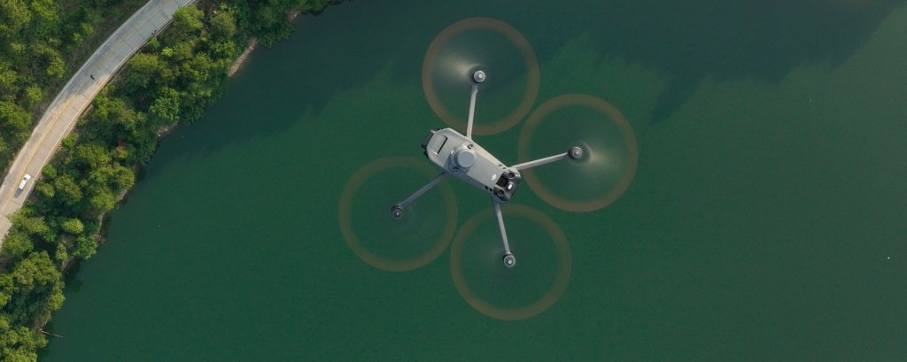
Aerial and underwater drones
Aerial and underwater drone technology with AI computer vision models to estimate carbon stock are also utilized to enhance satellite imagery estimates.
Quantifying blue carbon
Aerial drone imagery can be used to classify and delineate mangrove forests at scale. By processing the imagery taken with computer vision models, we can classify the species observed and calculate the amount of carbon stored and sequestered.

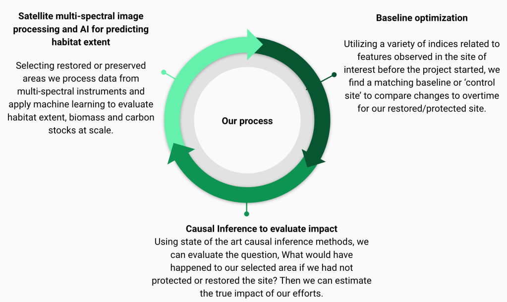
Project Evaluation
Our projects are rigorously vetted to be listed in our marketplace and certified by major carbon credit certifiers. Our evaluation criteria ensures that every project applies a causal impact framework for determining efficacy. The following criteria are assessed for each project:
Additionality: The project must ensure that carbon stored or sequestered would not have happened without the protection or restoration efforts. Control sites are utilized to assess changes to areas with the same characteristics as the project area before and after project is implemented.
Permanence: The project must ensure that carbon stored or sequestered will remain in there for long-lasting climate impact informed by continuous monitoring and reporting. Insurance or buffer pools are utilized to ensure carbon credits will be long-lasting in the face of environmental changes.
Conservative: Each offset represents one tonne of carbon sequestered, the most conservative estimates are applied to ensure there is not over-estimation of carbon.
Co-Benefits
Biocredits: Biodiversity credits may also be issued from protected or restored areas. Biodiversity is measured through a suite of indices and the number of endangered and threatened species are also quantified.
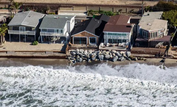
Sea-level rise protection: Restoring and preserving marine coastal ecosystems also has the benefit of protecting from sea-level rise, storm surges, coastal flooding and shoreline erosion.